All apps and solutions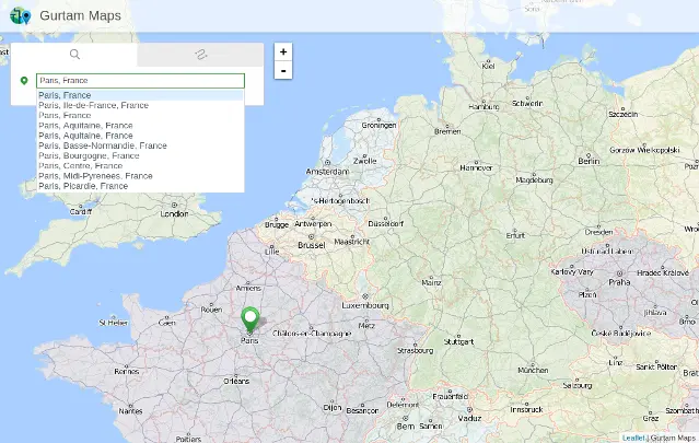 See the demonstration
JAXICLOUD FLEET MANAGEMENT
JAXICLOUD Maps
Use the map to locate vehicles, places and geographical areas.
Discuss your needsJAXICLOUD FLEET MANAGEMENT
FUNCTIONS
What you can use it for
Find addresses and coordinates
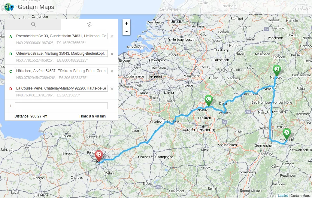
Investigate distances and routes
JAXICLOUD FLEET MANAGEMENT
See how the app works
Explore real app views and follow the functions step by step. The examples show an illustrative configuration; your account may look different.
JAXICLOUD FLEET MANAGEMENT
GUIDED IMAGE WALKTHROUGH
App views explained
- View distance and estimated travel time
- Save the route as KML
JAXICLOUD FLEET MANAGEMENT
JAXICLOUD FLEET MANAGEMENT
Detailed functions
Get more from the app
Search addresses and coordinates
Add and move route points
View distance and estimated travel time
Save the route as KML
This is an existing app that is no longer developed or maintained by its platform supplier. We check availability and suitability before configuring it for your fleet.
IN PRACTICE
From data to action
A new delivery location needs locating. The dispatcher searches its address, adjusts route points and uses distance and travel time in planning.
Functions depend on your agreement, compatible equipment, data access and configuration. JAXICLOUD FLEET MANAGEMENT helps select and configure the solution.
01Choose the data
02Review the workflow
03Follow up